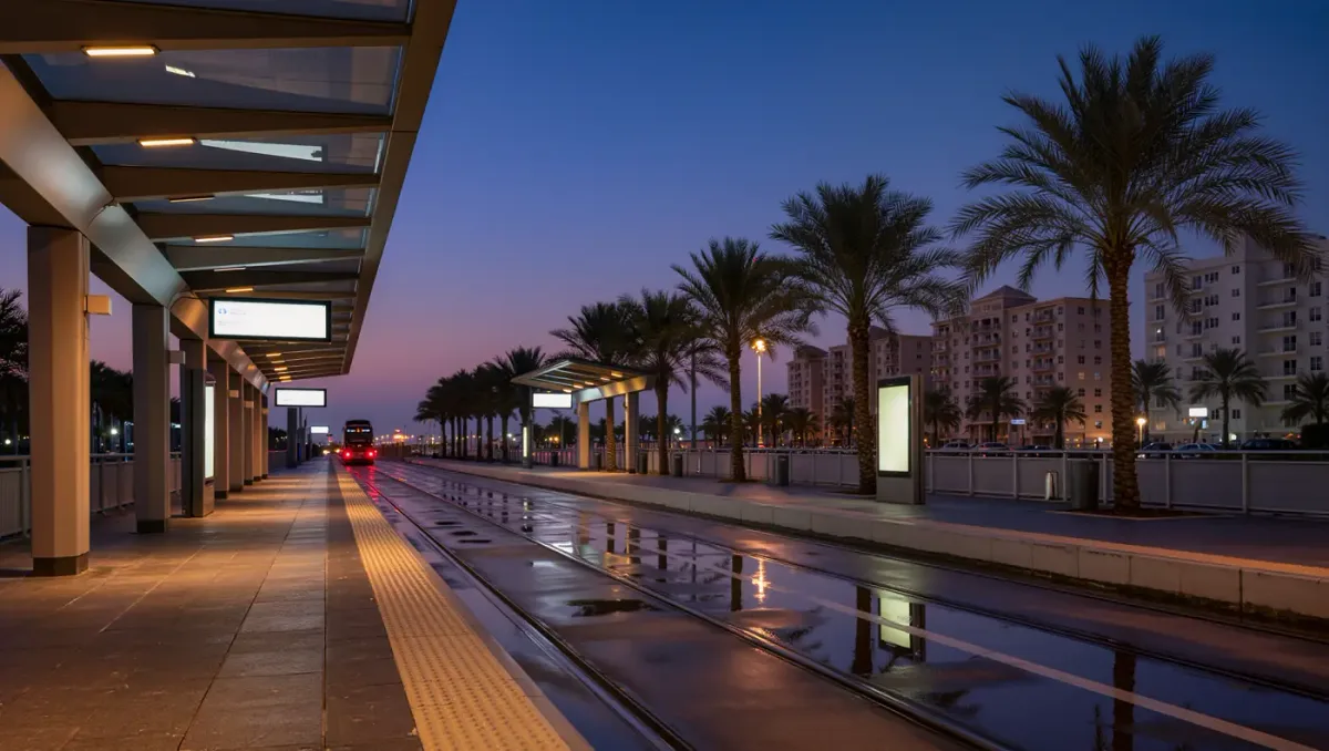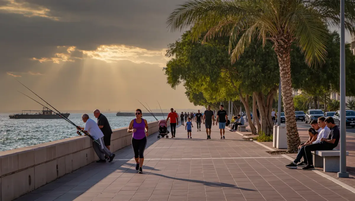
The Miami Riverwalk, the planned 10-mile walk and greenway lining both banks of the Miami River from the mouth at downtown to the falls upstream, stood at 68 percent complete per the Miami Downtown Development Authority's Baywalk and Riverwalk completion tracking, the most recent public accounting of the system as of mid-2026. The downtown Baywalk it is meant to connect to, a 5-mile loop around Biscayne Bay, has reached 89 percent.
The gap between the two numbers tells the river's story. The bayfront walk runs past office towers and museums on publicly owned land, while the riverfront threads a working waterway, past boatyards, tug operators, marine industrial parcels, and the residential blocks of Spring Garden and Riverview on the north bank and the Little Havana riverside south of SW 8th Street. Every missing segment usually means a private parcel without an easement, and the DDA's tracker exists largely to name and negotiate those gaps one property at a time.
The system has been assembling for more than four decades, per the DDA's own account of incremental riverfront and bayfront acquisitions, and the river's share advanced in recent years through a mix of development conditions, county grants, and the city's special area plan process, which trades riverfront walk access for development rights on private parcels. That mechanism is why the completion percentage moves in fits rather than increments: one negotiated easement can add a quarter-mile of walk, and one stalled negotiation can hold the map still for years.
Why it matters here: the riverfront is the city's least-used waterfront, hemmed for decades by fences and working industry, and each completed segment converts it into a public room. Restaurants and parks along the river's lower reaches, from the riverside terraces near the Brickell mouth to the River Landing development's retail frontage upriver, have already shown what continuous access draws, and residents of the Spring Garden historic district, whose streets dead-end at industrial fences, have the most to gain from the remaining miles. The same walkways double as evacuation and emergency routes along a waterway that still moves construction barges every day.
The DDA updates its completion figures as parcels are negotiated, per its published tracking, so the percentages remain subject to change. The remaining third of the riverwalk stretches largely through the middle and upper river, where industrial owners and the walk's planners are still working out where a public path can and cannot run.